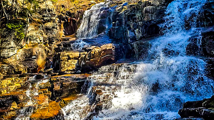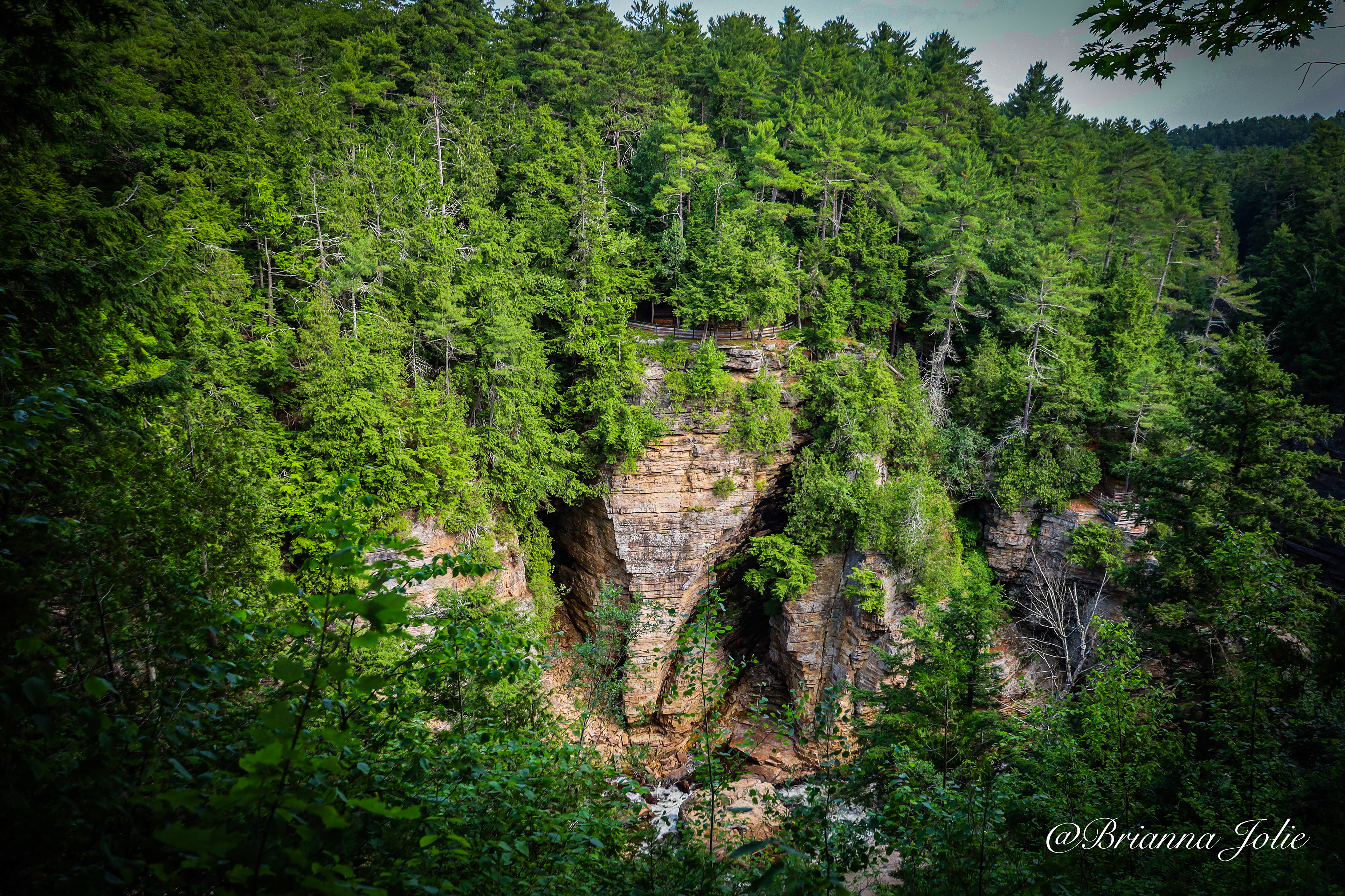


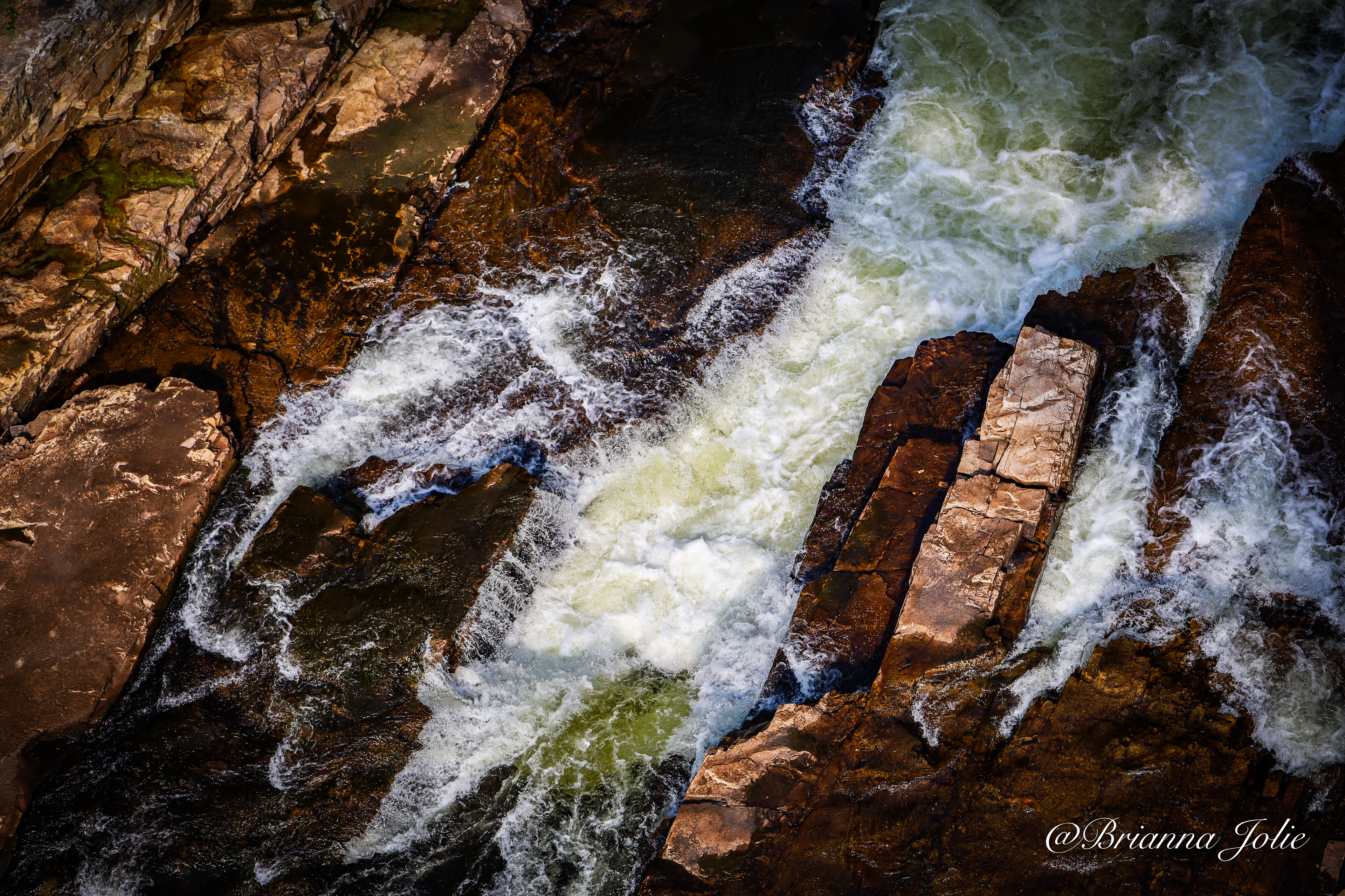
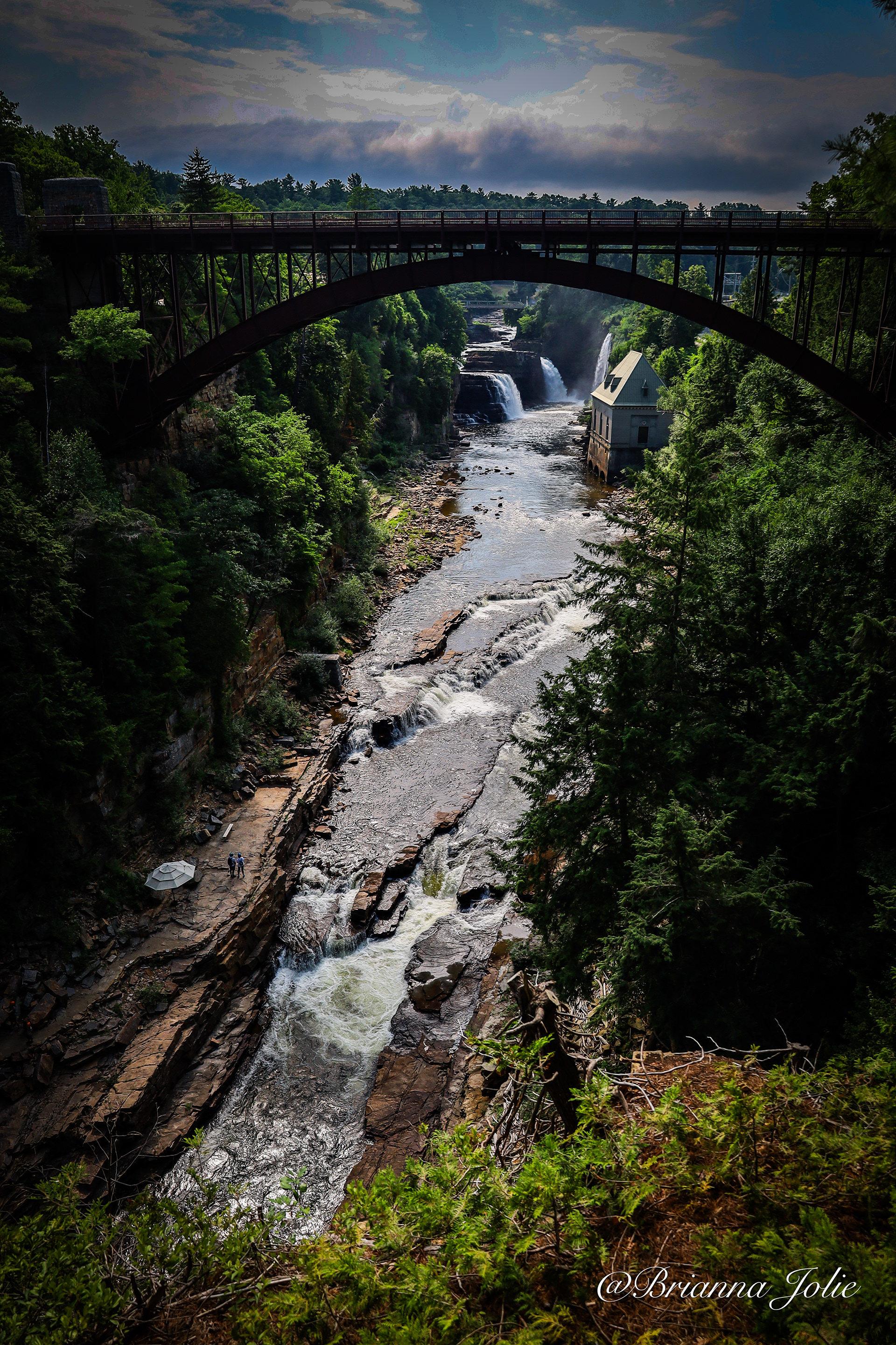
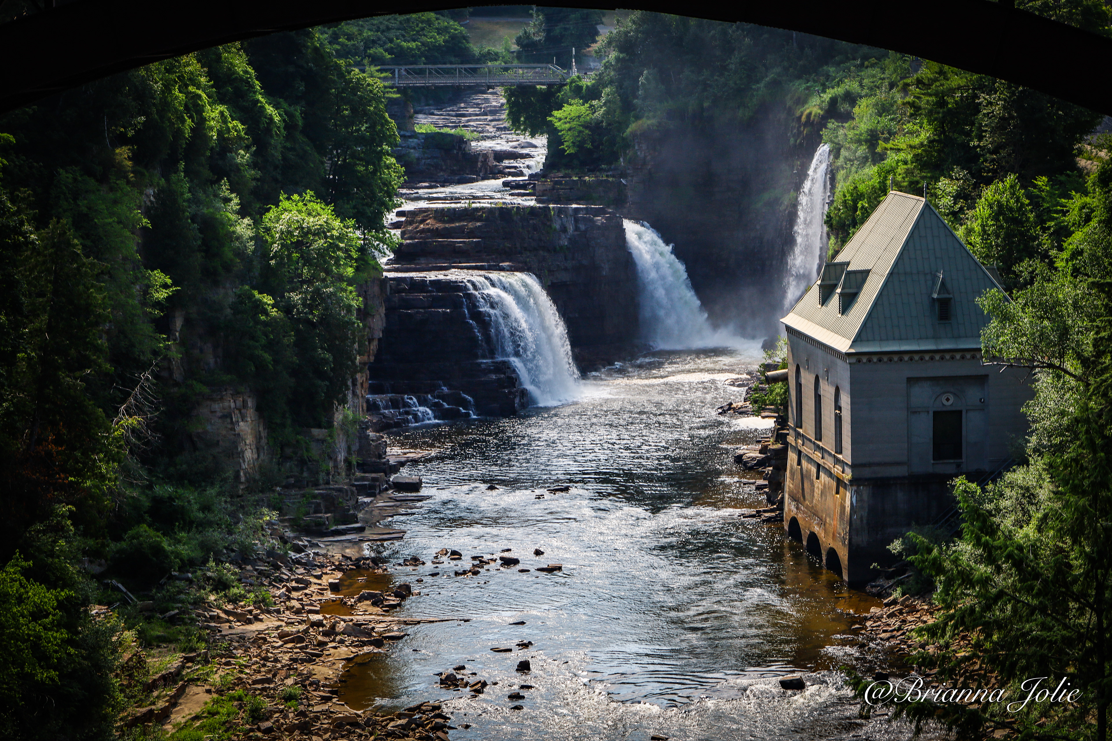
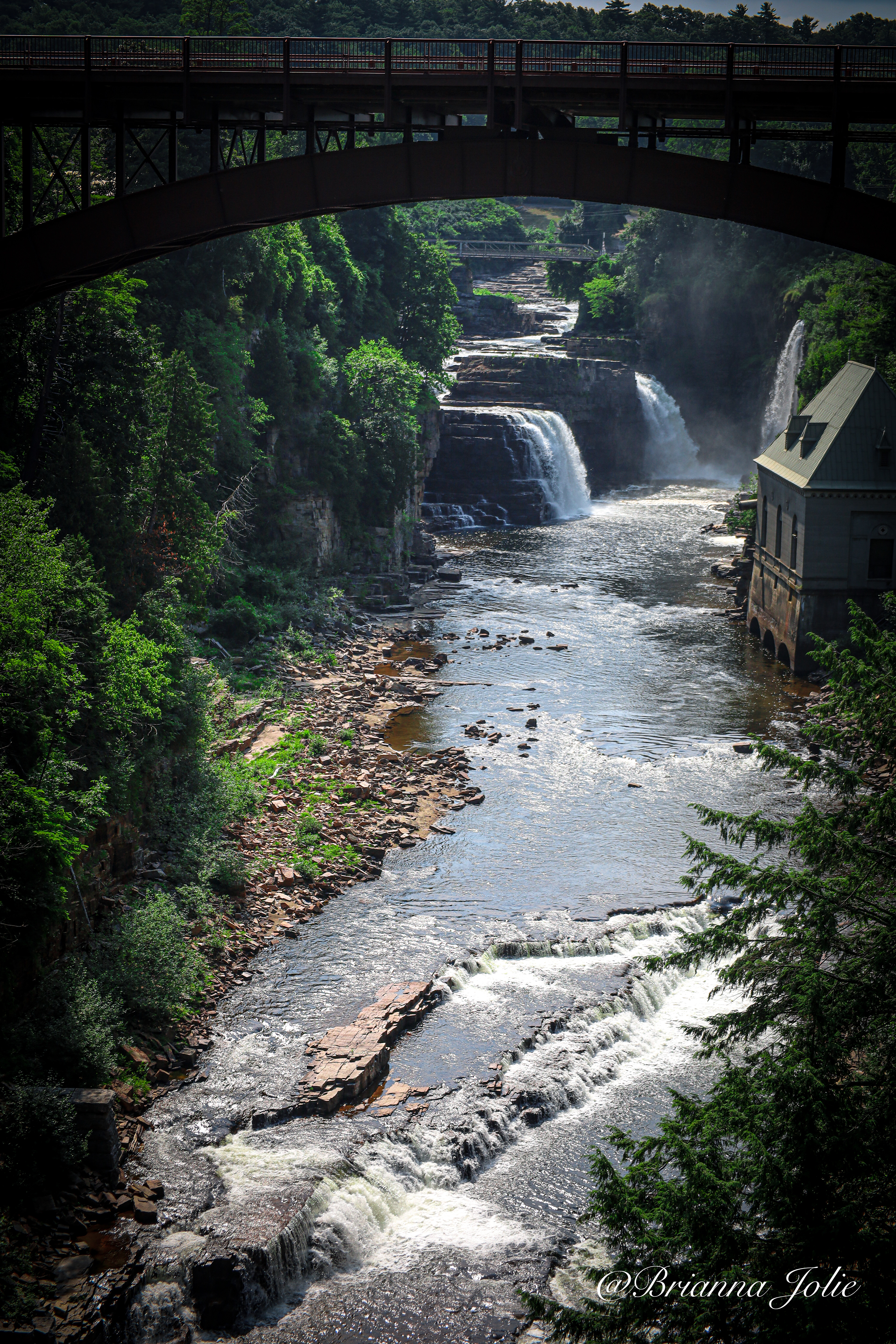


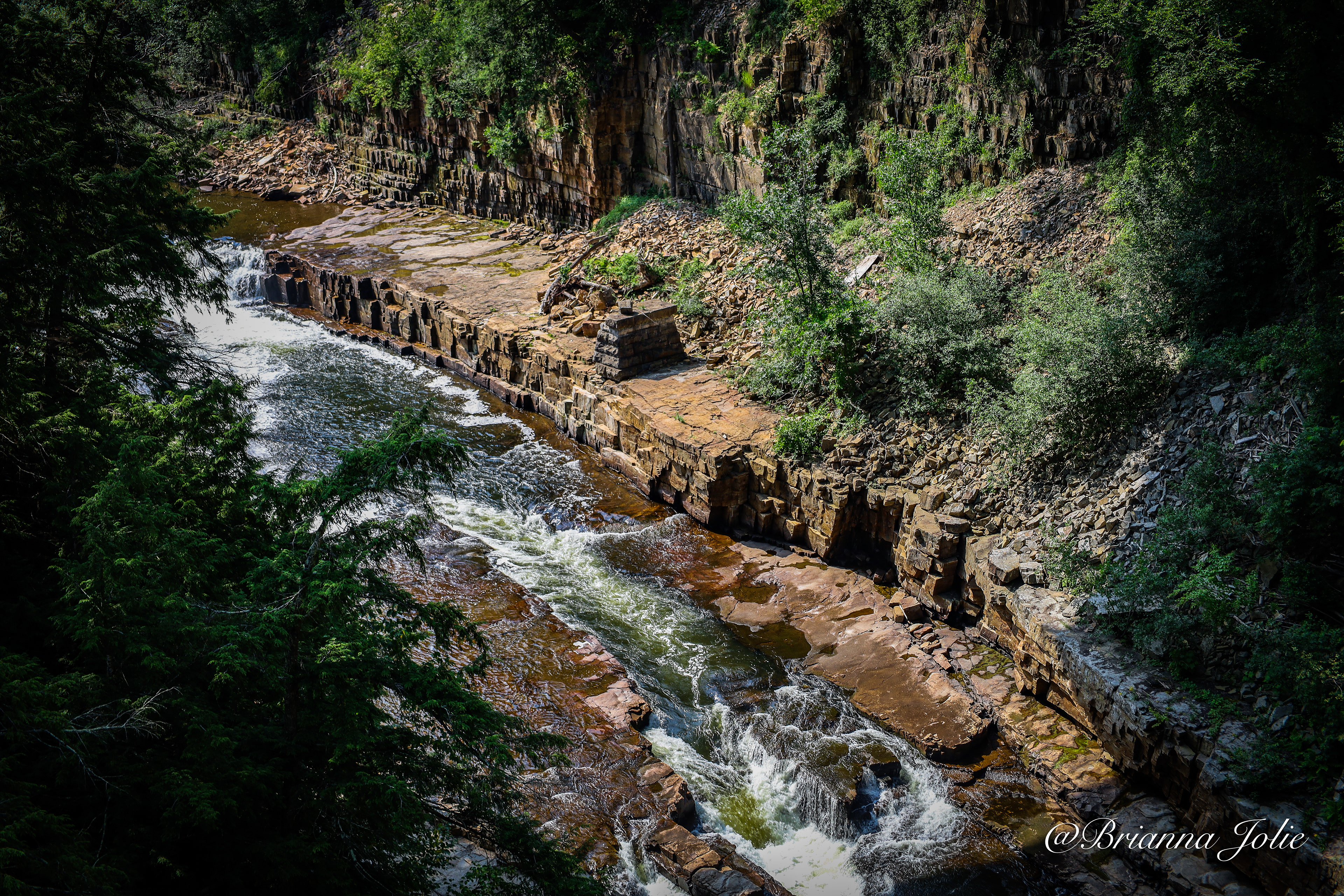
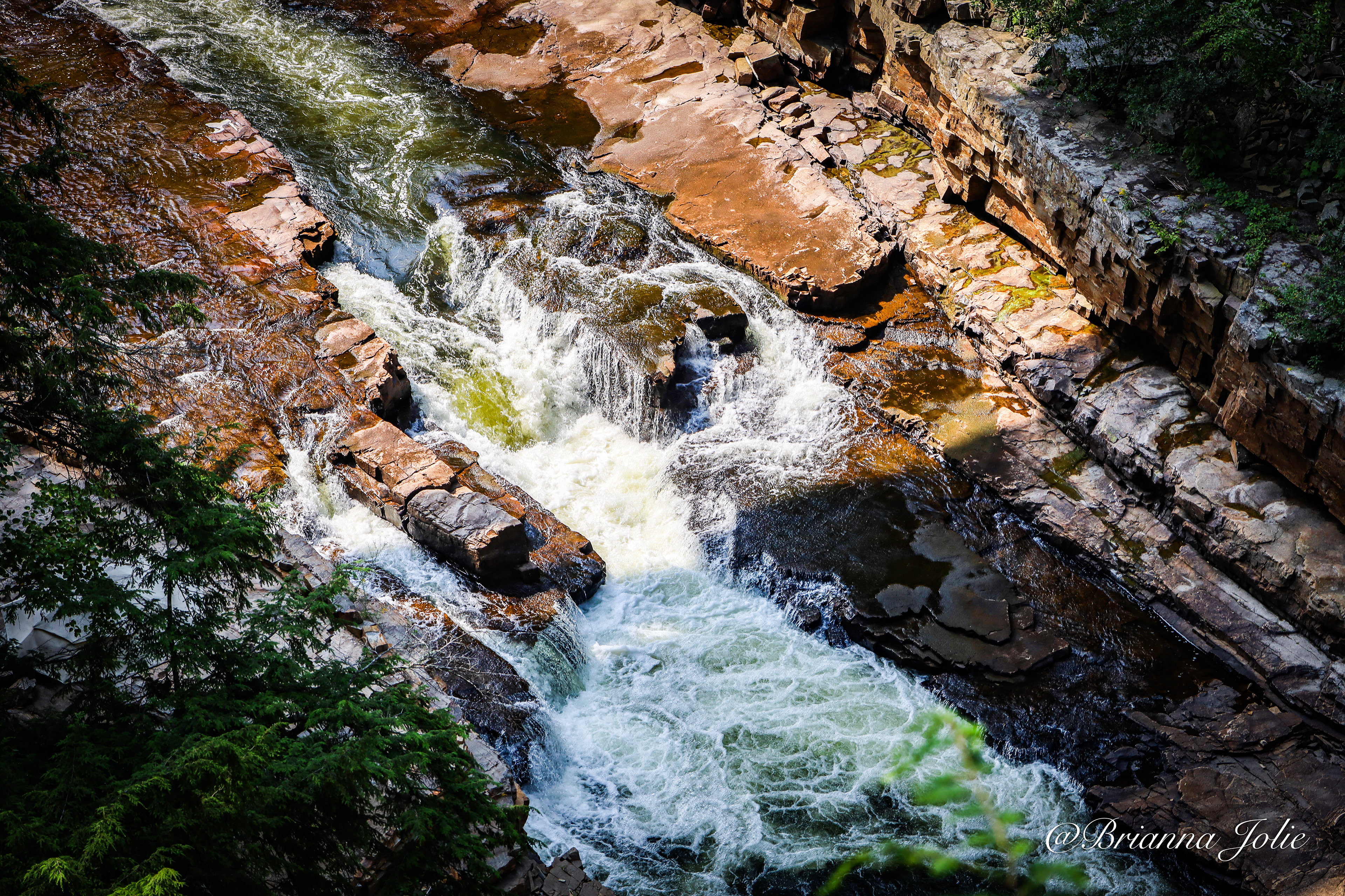
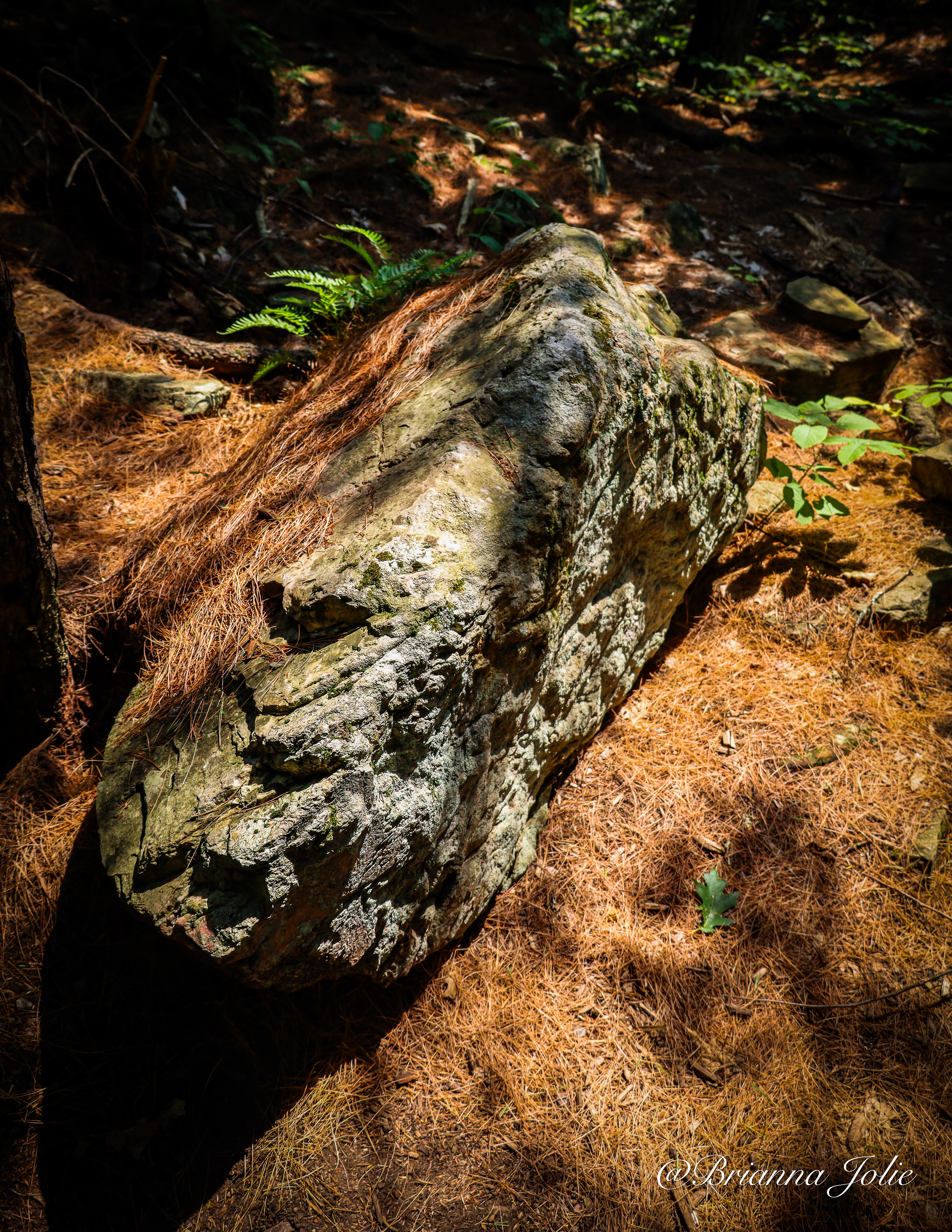
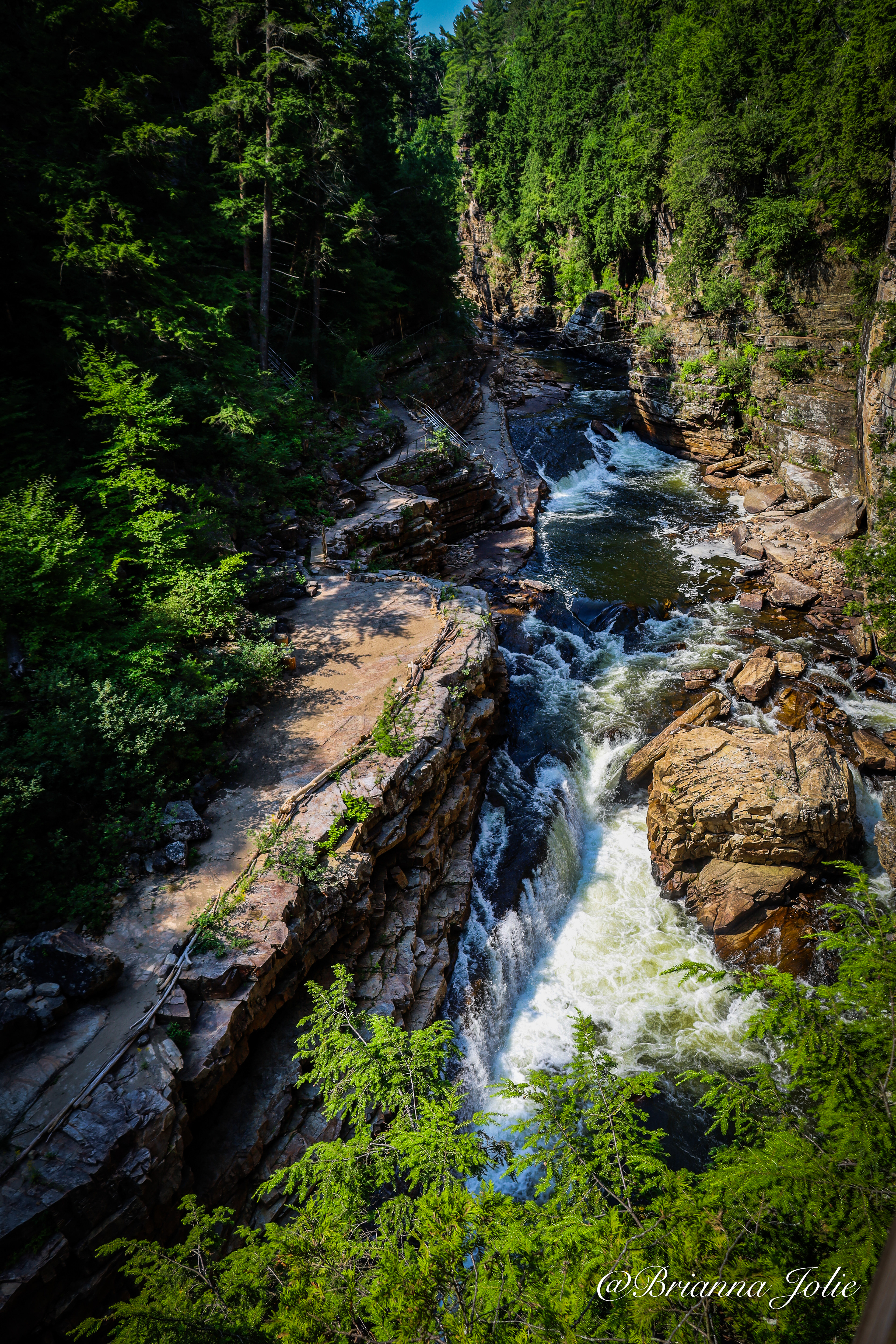
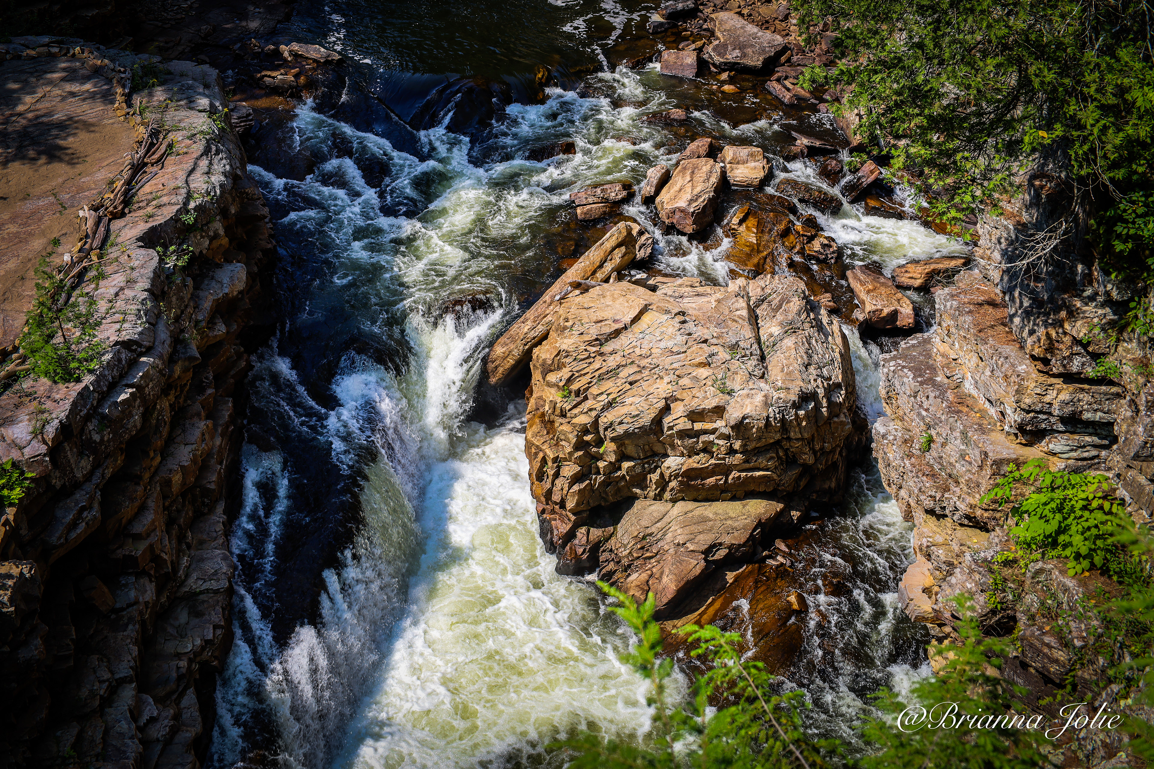


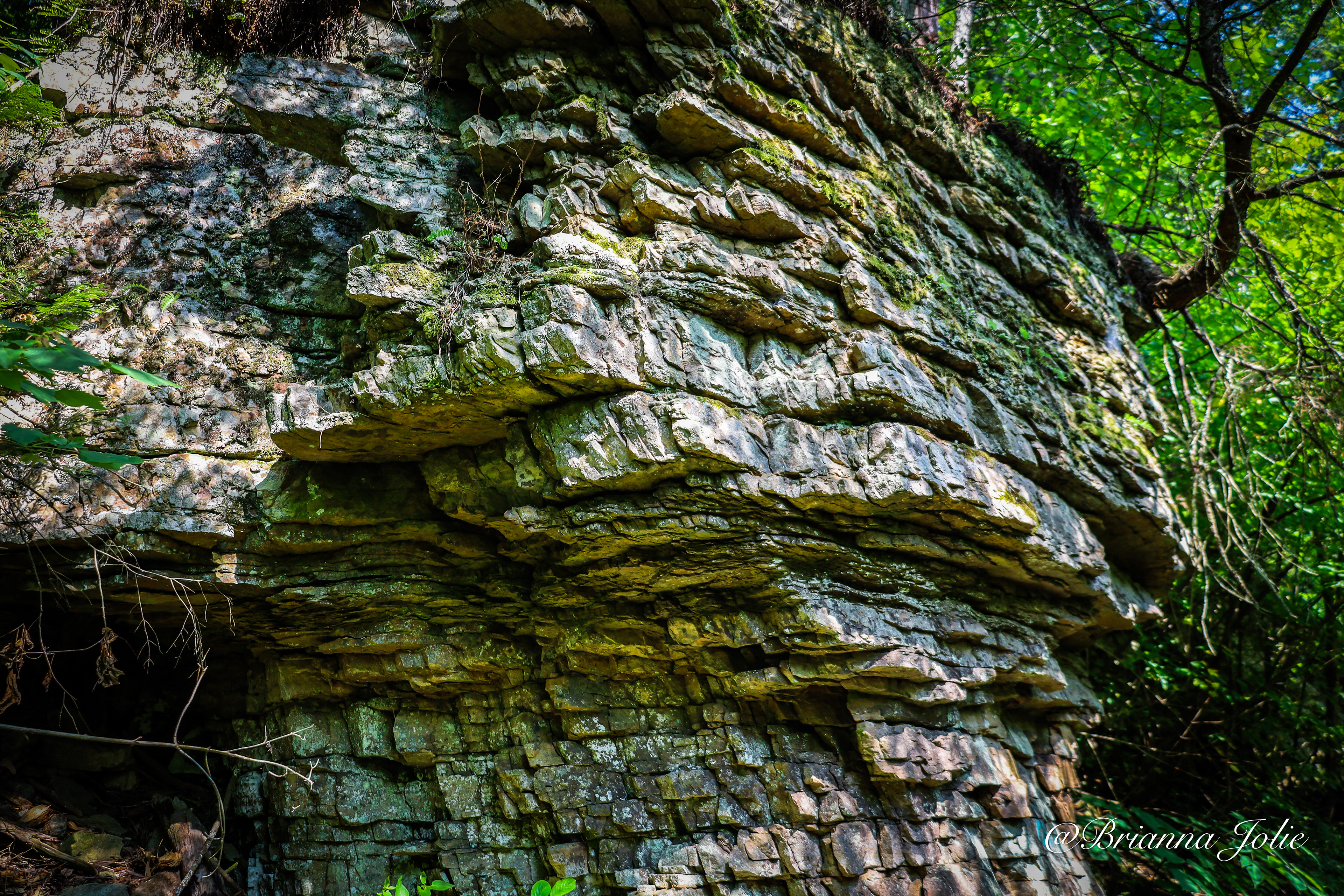
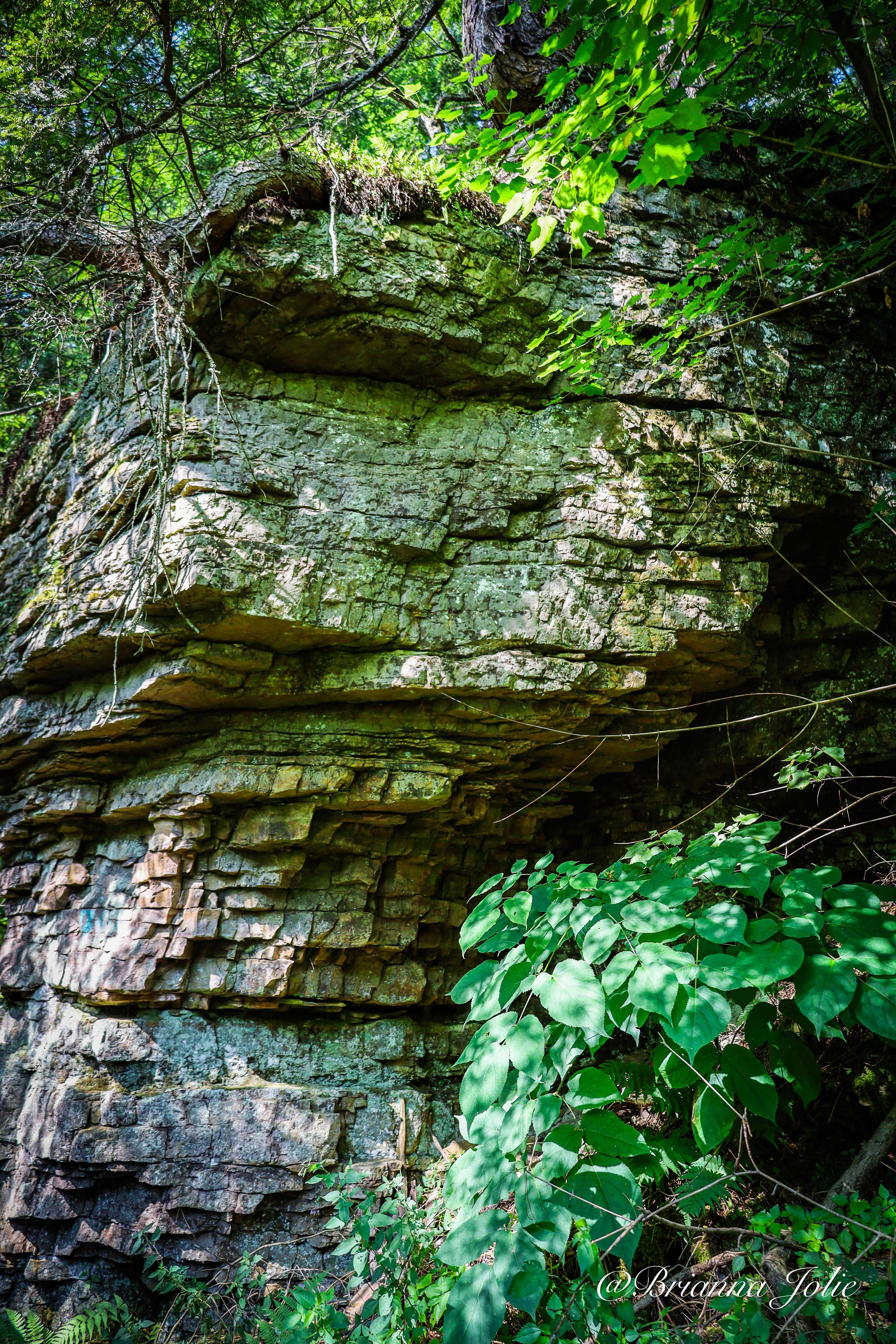
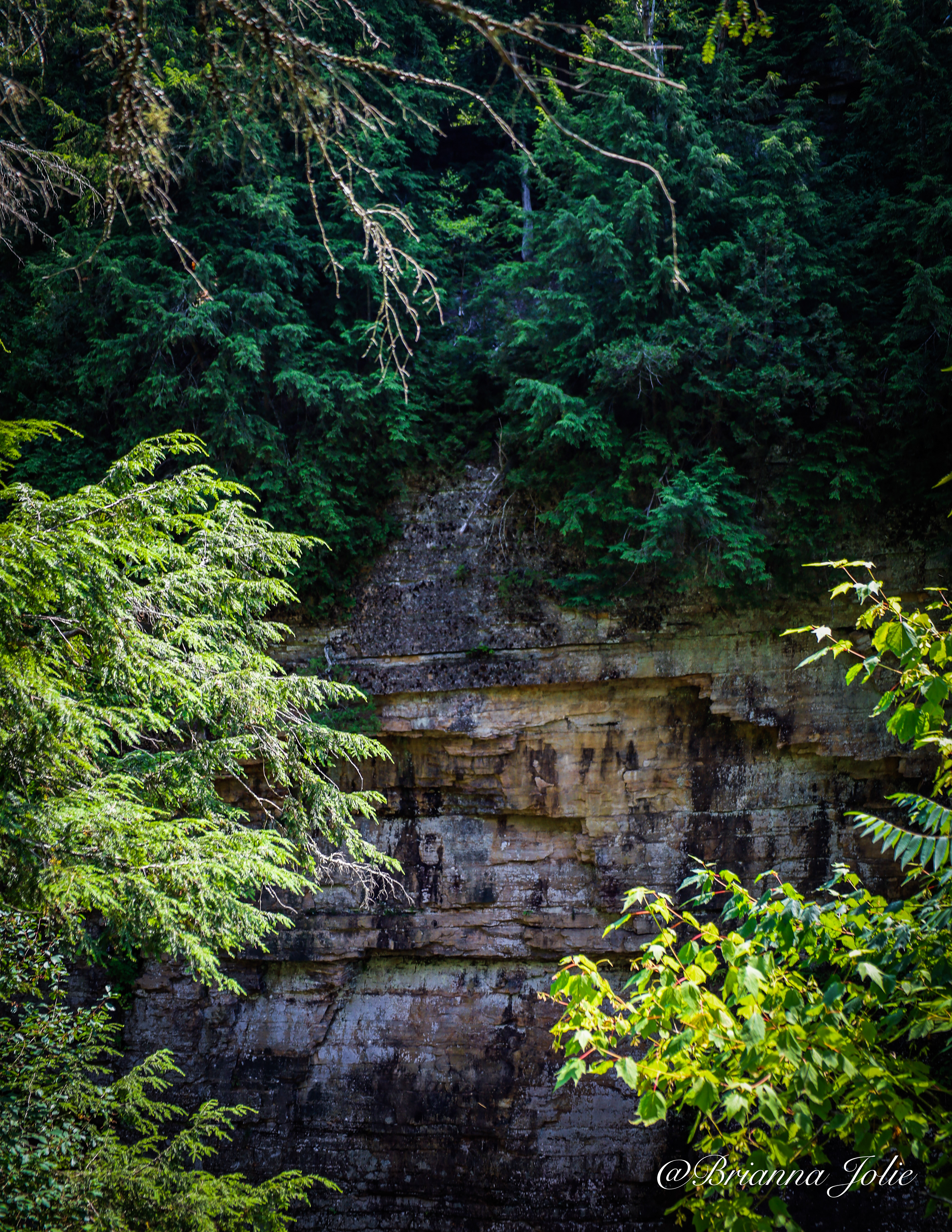


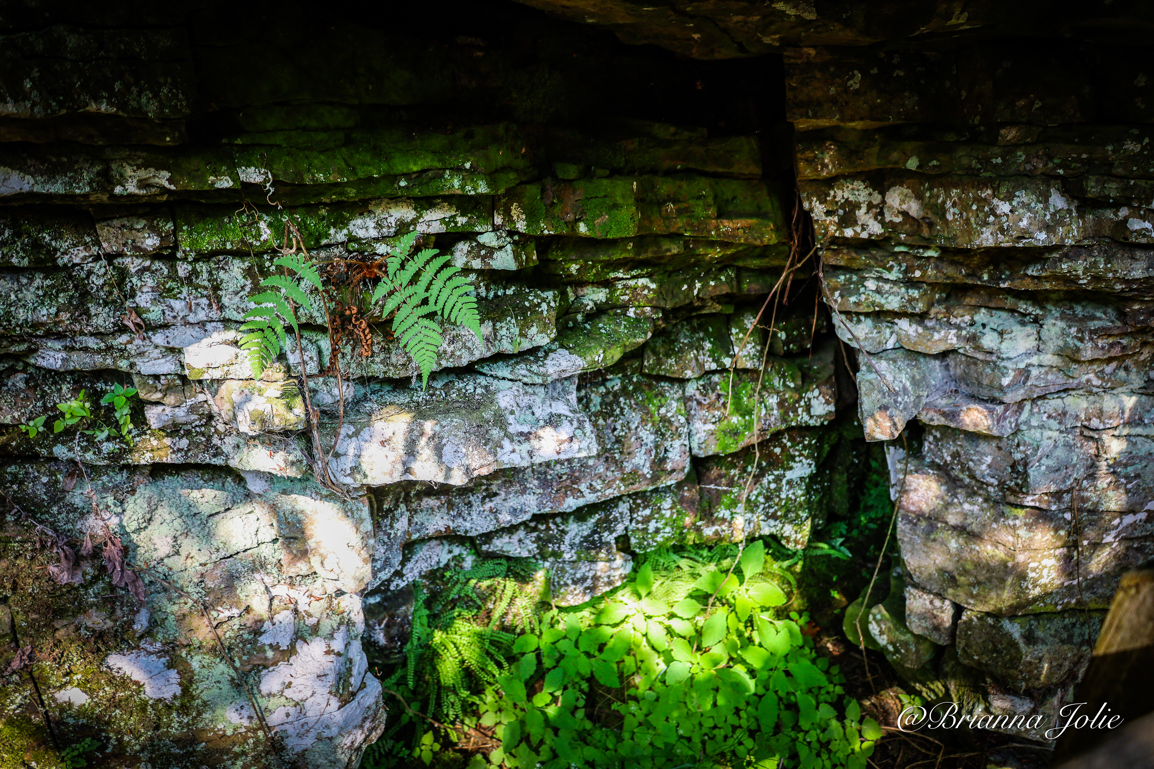


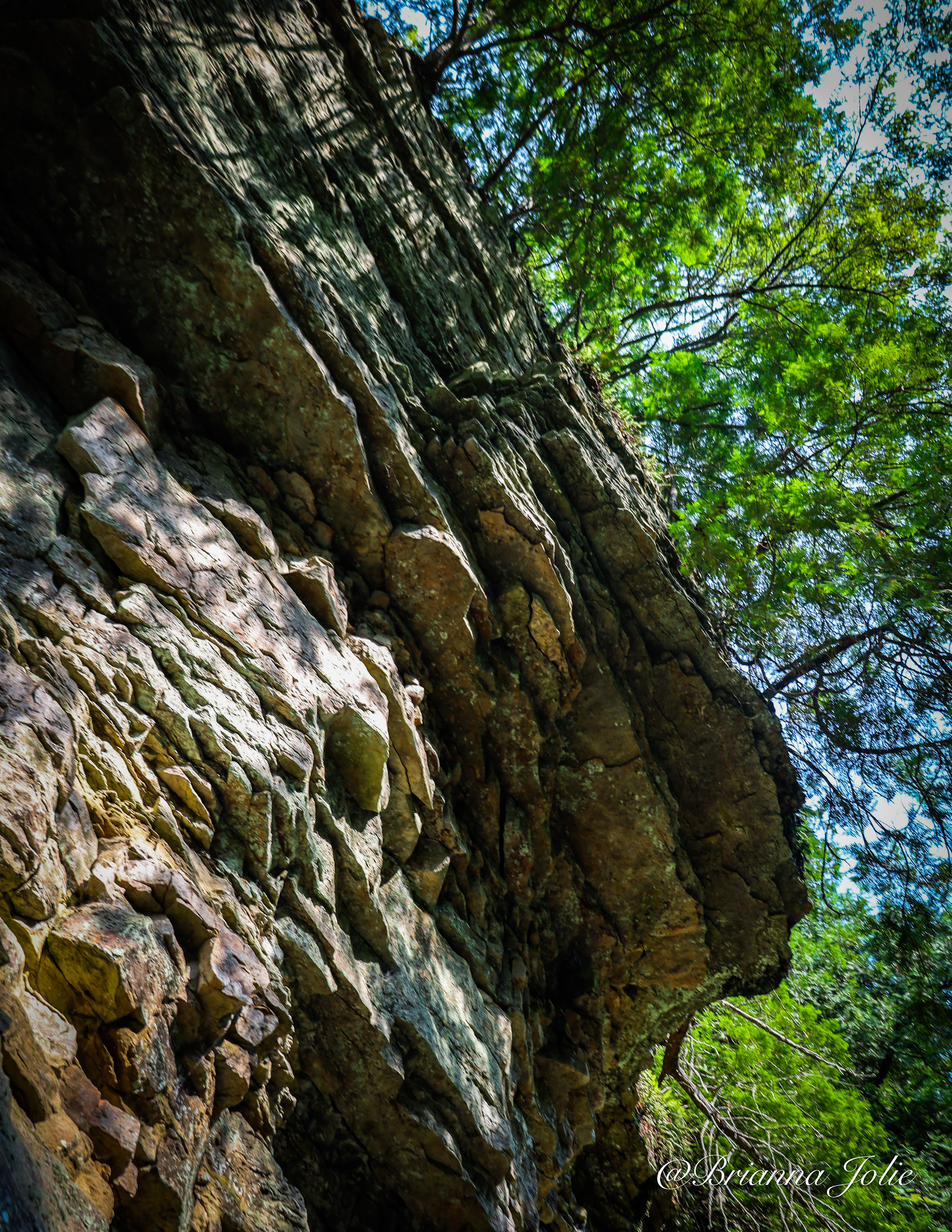


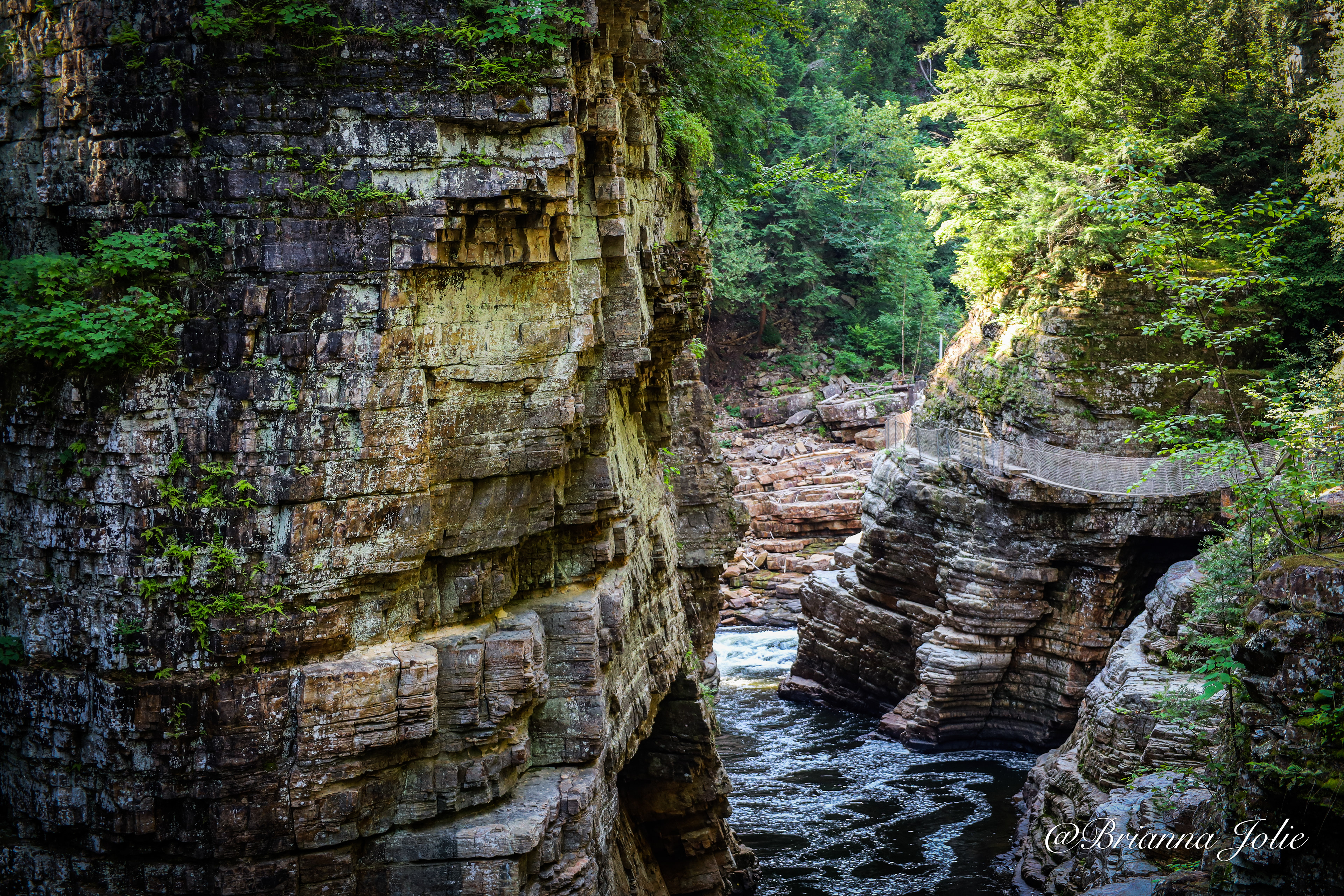

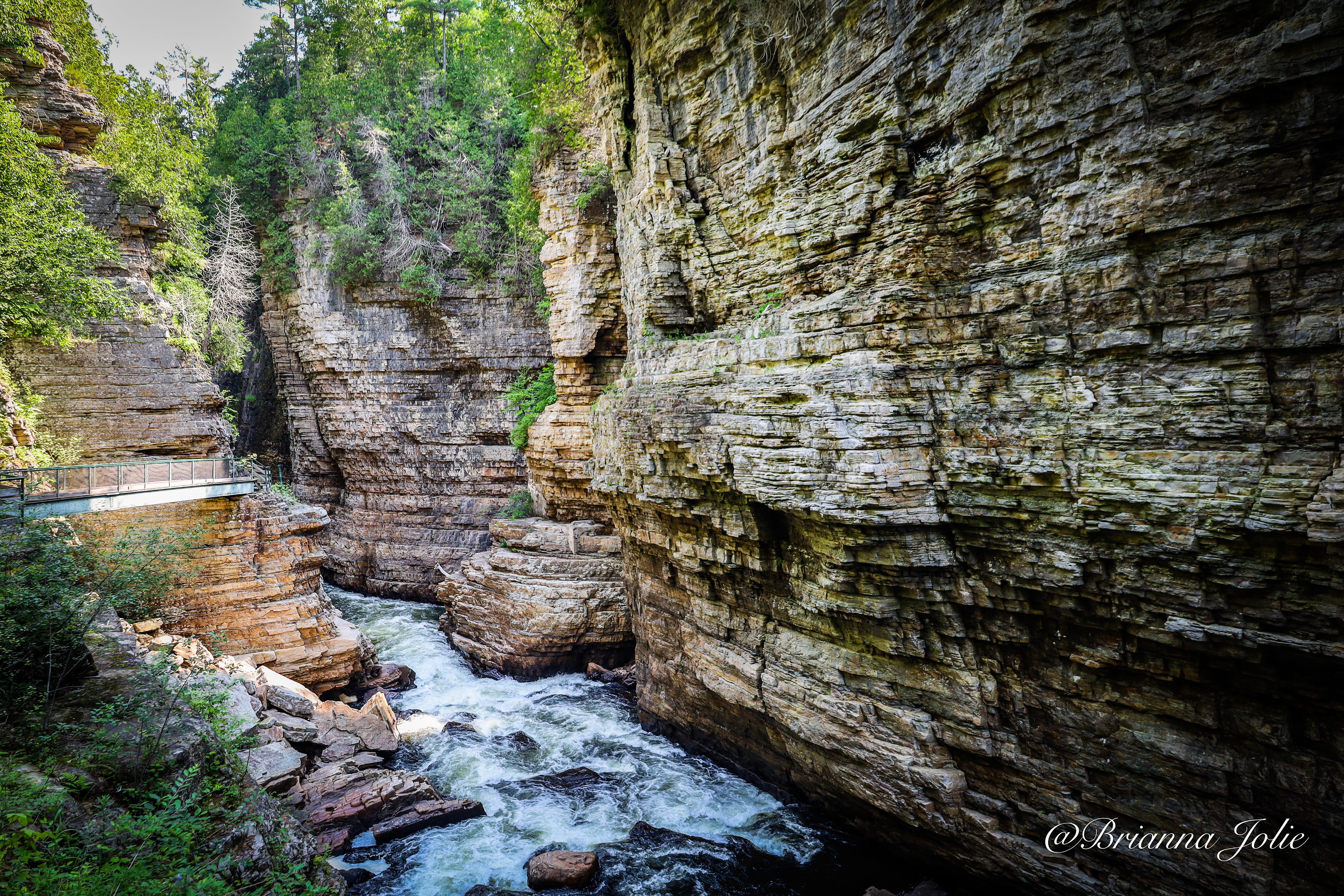


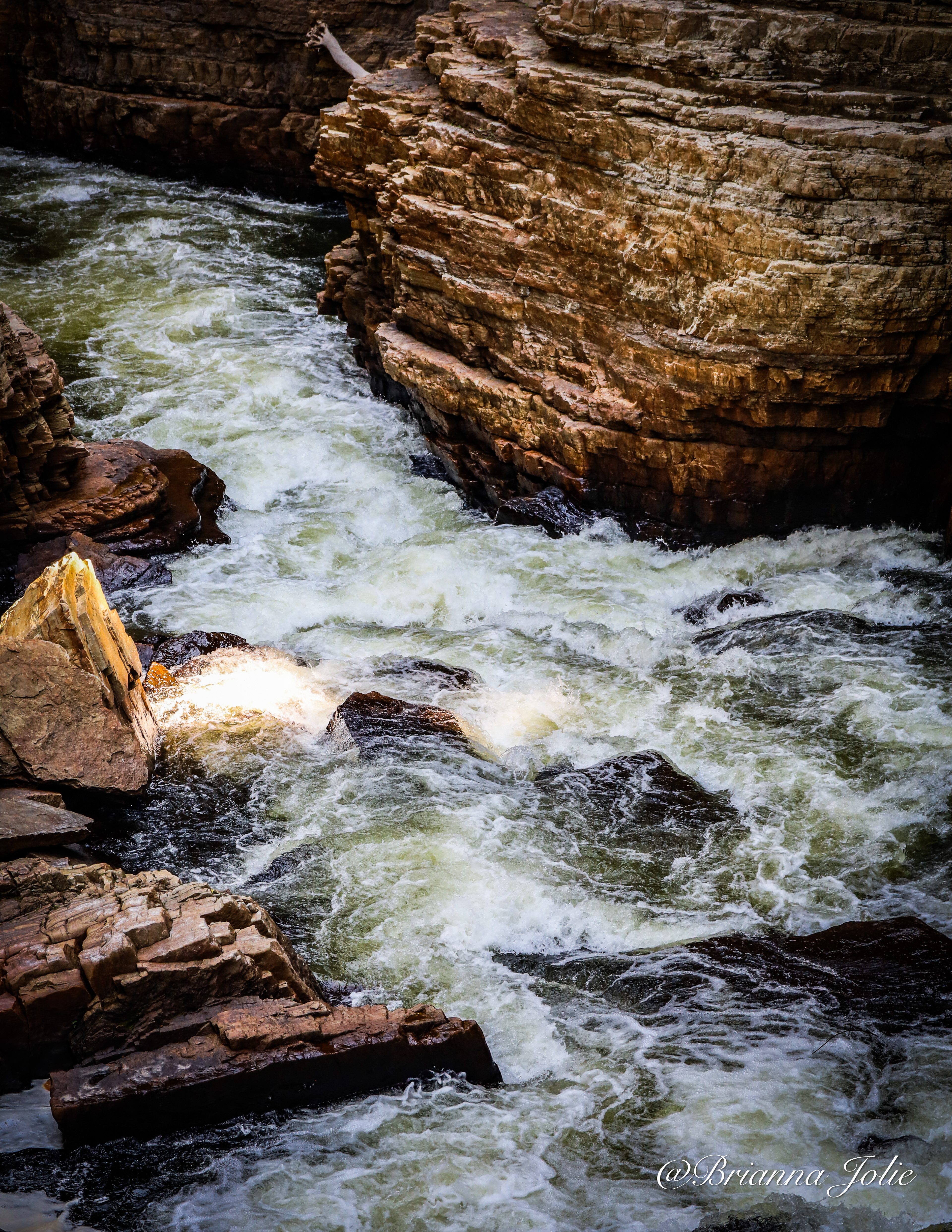
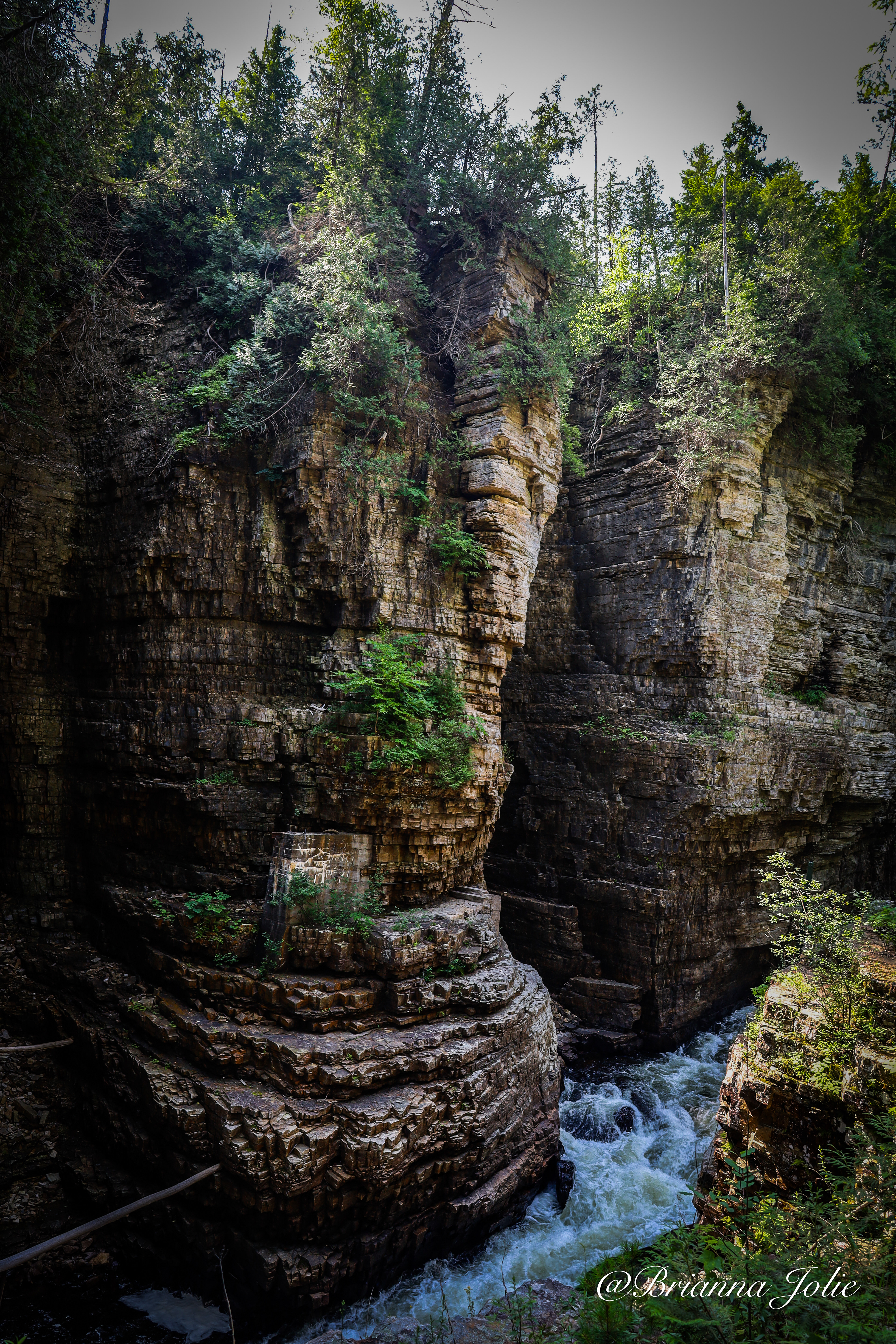

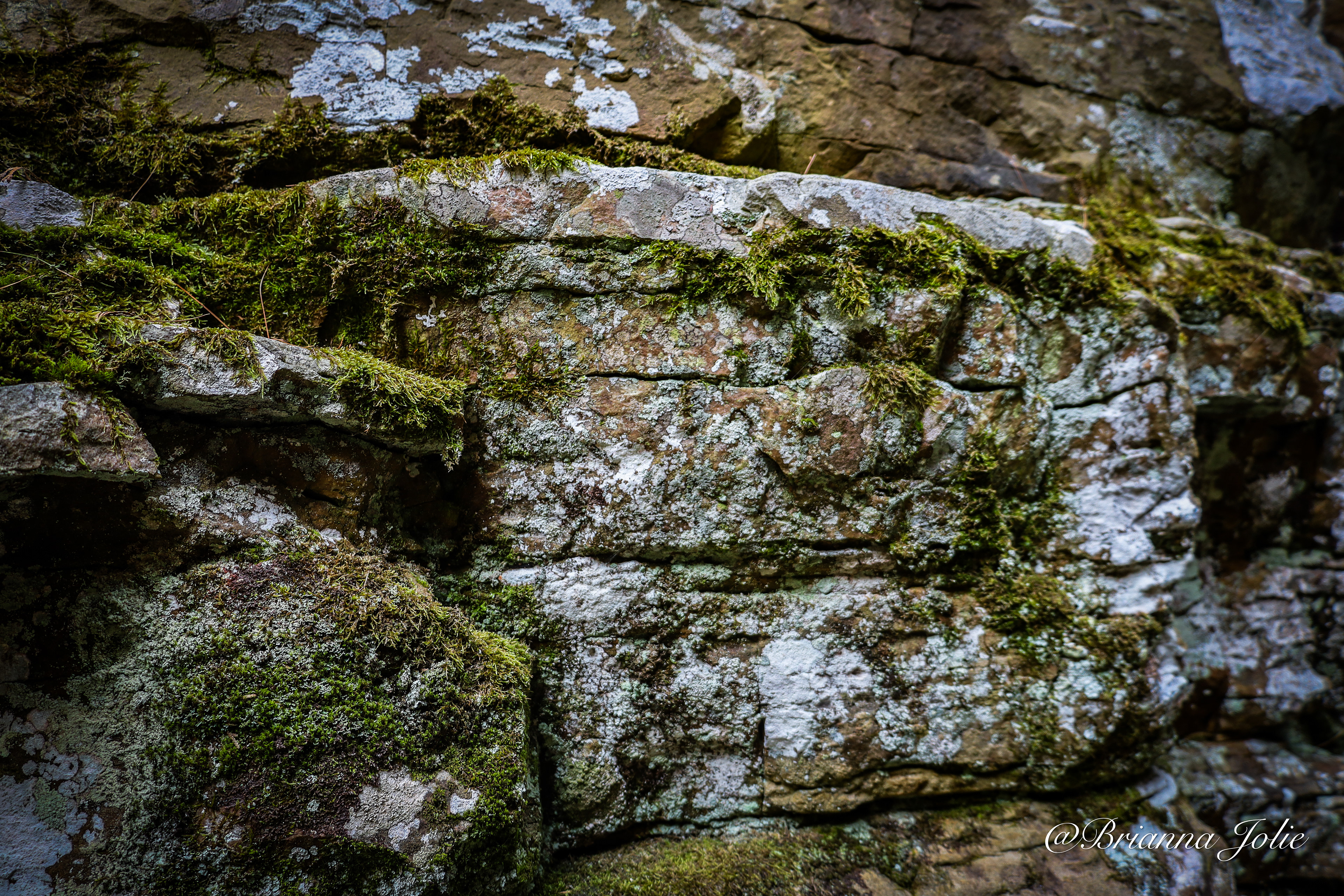
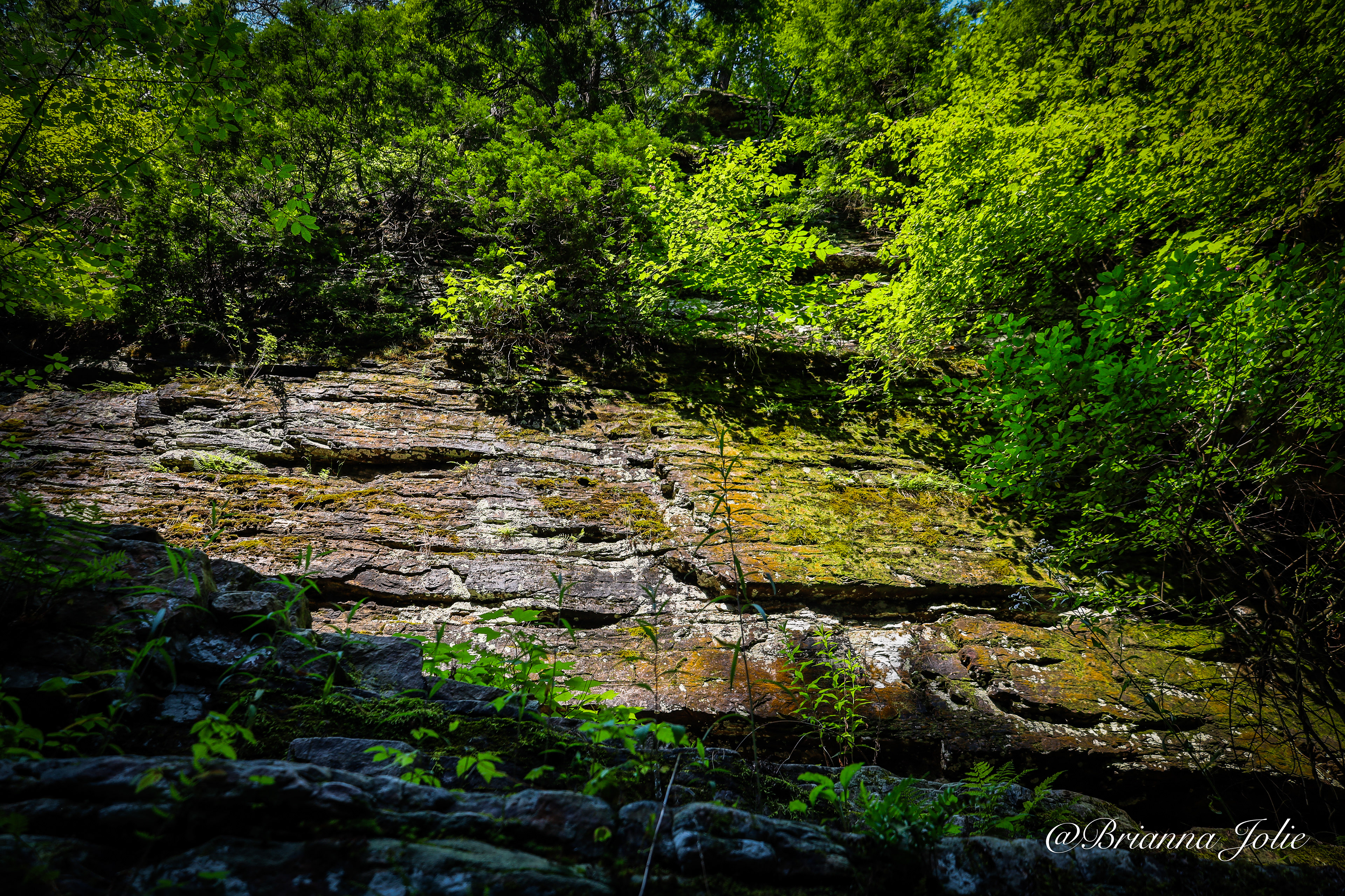


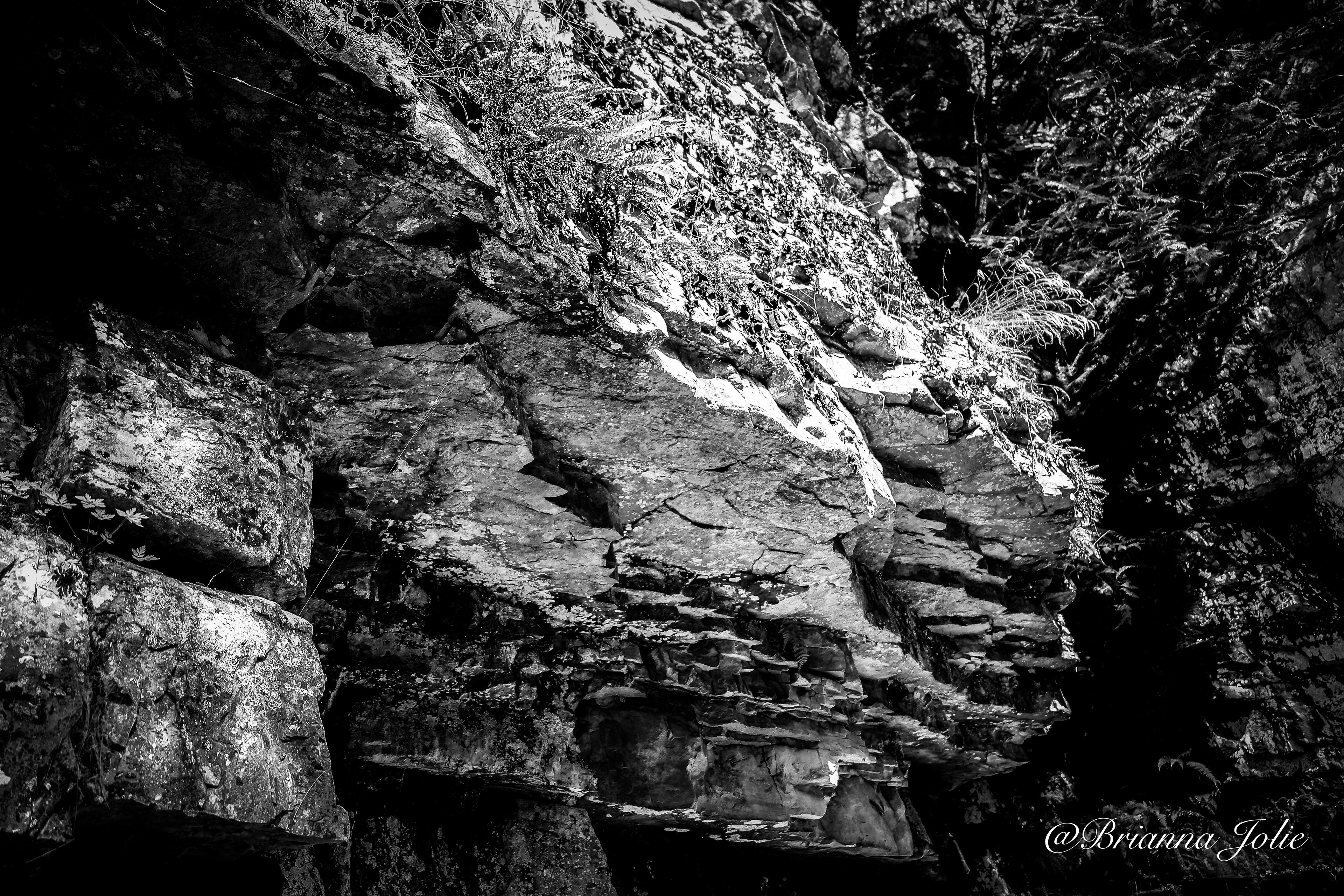

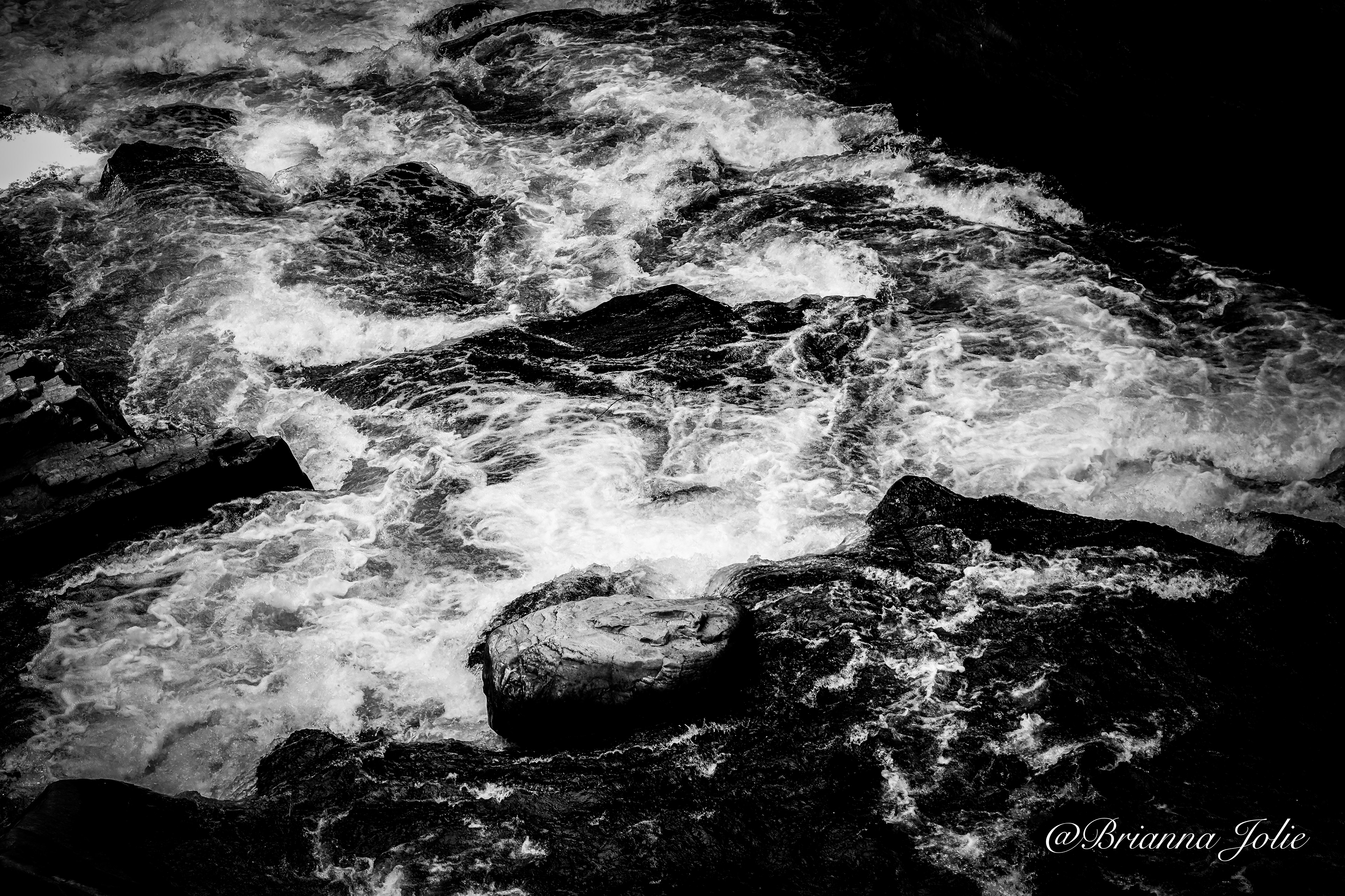
Ausable Chasm is carved out of a 500-million-year-old, 520-foot (160 m)-thick exposure of Cambrian Potsdam Sandstone. The sandstone of the gorge, formed from ancient tidal flats,[4] preserves ripple marks, ichnofossils,[5] and rare mid-Cambrian Scyphomedusae jellyfish fossils.[6] Ausable Chasm itself is a result of the conclusion of the last glacial period at the end of the Pleistocene, about 10,000 years ago. Prior to the formation of the gorge, the movement of the Laurentide ice sheet during the last glacial period carved deep cliffs along the Champlain Valley, which were subsequently covered in glacial till.[7] By the end of the last glacial period, the melting ice sheets formed the vast Champlain Sea, which inundated the current location of the chasm.[2] The formation of Ausable Chasm began in its earnest when post-glacial rebound caused the Champlain Sea to recede, and the Ausable River, with considerably higher flow than today due to glacial meltwater,[5] began downcutting through the layers of glacial till.[2] Once the incipient Ausable Chasm had fully cut through the unconsolidated glacial till and reached the Potsdam Sandstone basement, the river fell over a buried scarp and formed the ancestral Rainbow Falls.[7] As the falls receded due to headward erosion, the river exploited vertical joints in the sandstone, resulting in the river following a sharp, angular course. Other than the natural weakness of the vertical joints, the horizonal beds of Potsdam Sandstone are resistant to erosion, contributing to the gorge's depth and narrowness. Over the next 10,000 years, the Ausable River in some places changed courses and left relict paleochannels, with two, the Big Dry Chasm and Little Dry Chasm, being open to visitors along with the main gorge. Ausable Chasm today is a box canyon, with the Rainbow Falls having carved a two miles (3.2 km) long gorge from its ancestral location to the present-day visitor's center.[5] Modern development of the gorge has effectively been halted due to the construction of a dam upstream and the diversion of water from Rainbow Falls.[7] Some formations that have been given names include Jacob's Well, a large pothole; the Cathedral; the Devil's Oven, a cave formed by the Ausable River; Elephant's Head; the Flume; Sentinel Rock; and Table Rock.[8][9] History c.1875 photograph of the chasm by Seneca Ray Stoddard Archeological evidence for Native American settlement has been found close to Ausable Chasm at Hallock Hill. In the 17th century, the land surrounding Ausable Chasm was contested between Mohawk people of the Iroquois Confederacy and Algonquian tribes. Native Americans left the area around 1810.[10] In 1760, Major John Howe explored the chasm on ropes.[11] Five years later in 1765, early Irish settler William Gilliland encountered the chasm while exploring the shore of Lake Champlain on a bateau.[12] Gilliland wrote in his journal that the gorge "is a most admirable sight, appearing on each side like a regular built wall, somewhat ruinated, and one would think that this prodigious clift was occasioned by an earthquake, their height on each side is from 40 to 100 feet in the different places; we saw about a half a mile of it, and by its appearance where we stopped it may continue very many miles further." Although Gilliland's settlement was destroyed during the American Revolutionary War,[10] the growth of the logging industry spurred the settlement of the area around the gorge, creating the village of Keeseville.The first bridge across the chasm, consisting of two logs planked with boards, was inaugurated in 1793.[12] In the late 19th century, the chasm's Rainbow Falls was used to power Ausable Chasm Horse Nail Works, which produced two tons of nails a day. The factory closed in the 1925.[13] In 1925, the AuSable Chasm Bridge was inaugurated, spanning the chasm at its southern extreme carrying US 9 over the Ausable River.[14] (Wikipedia)